ARSplat: Mobile AR for Time-Lapse Tour
Credits: Evan Zhang, Nhan Tran, Abe Davis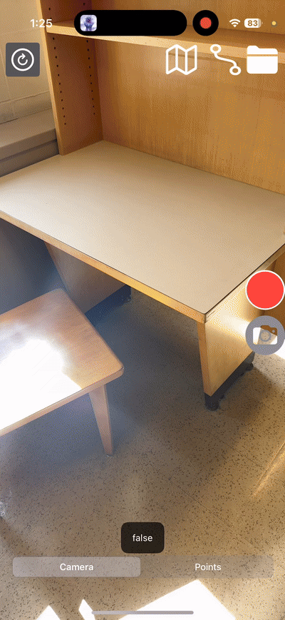
Effective monitoring of structural changes over time is critical across various industries, from construction to infrastructure management. Time-lapse visualization can capture gradual changes and enable the early detection of potential issues. In this context, we introduce ARSplat, a mobile augmented reality (AR) system designed to facilitate such monitoring.
During each scanning session, the application acquires a 3D point cloud of the environment using the iPhone’s LiDAR sensor. Simultaneously, it records RGB-D images and camera poses to support future research, particularly for training 3D Gaussian Splatting (3DGS). Additionally, users can manually serialize an ARWorldMap—an ARKit feature that preserves the spatial context of the device’s movement.
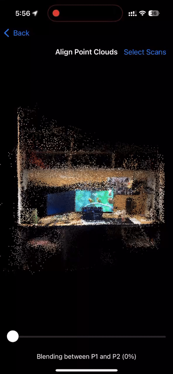
Prior to initiating a new scan, users may load a previously saved ARWorldMap, aligning the new scan’s coordinate system with that of the earlier session. This approach ensures that all 3D point clouds are registered within a consistent coordinate framework. Users can then select multiple saved point clouds and visualize the time-lapse by interacting with a slider bar.
We recognize that point cloud representations may not capture every detail of dynamic environments, especially in complex settings like construction sites. Consequently, we are exploring the extension of this project to train 3DGS using the additional data collected. Notably, works such as MetalSplatter have demonstrated the capability to render 3DGS on Apple platforms.